 VastuVidhi
How it works.
Four steps. You do three of them, and the app does the measuring. The whole thing takes a few minutes.
Upload your plan A photo or PDF is enough to begin.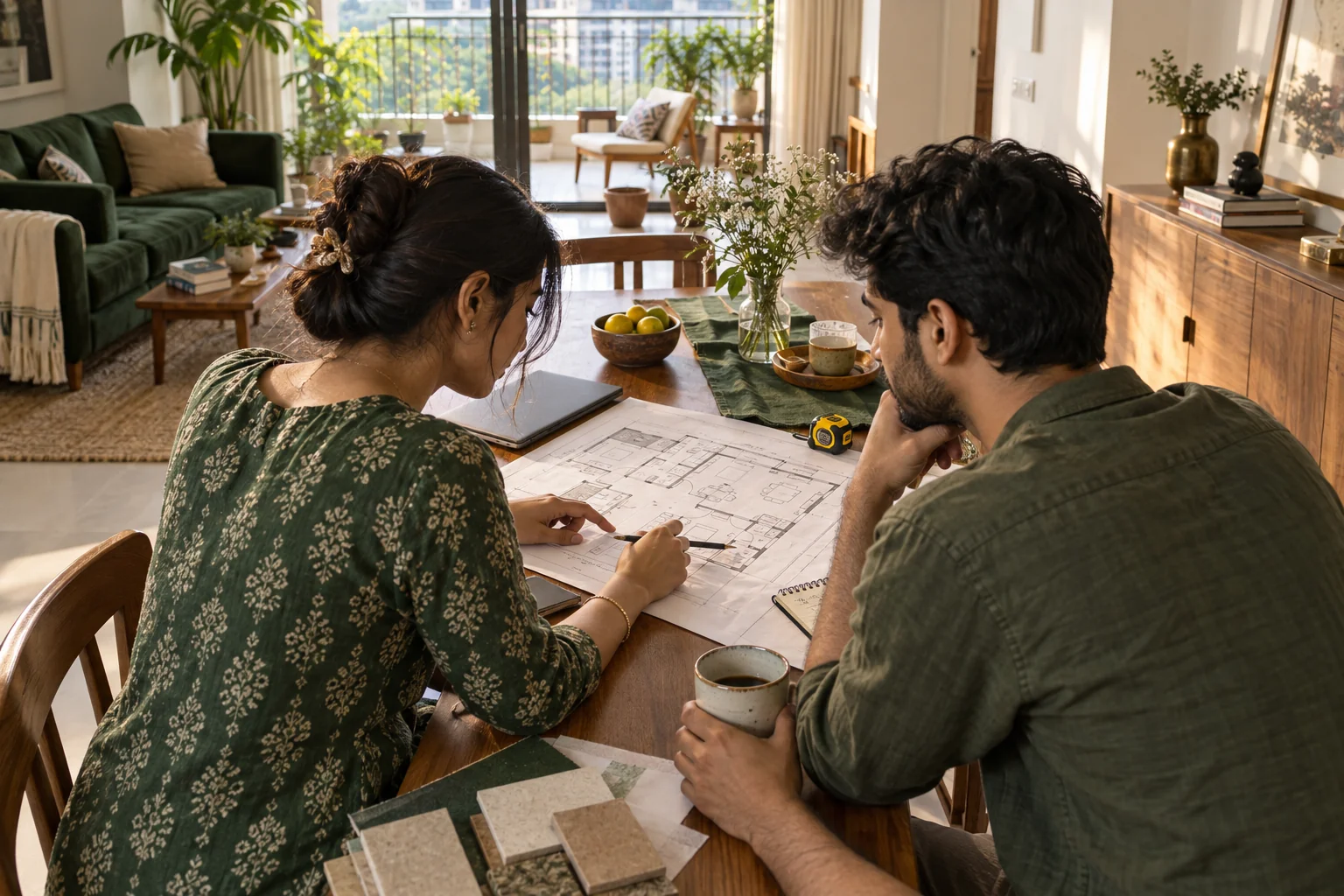 BEGIN WITH THE PLAN YOU HAVE
Upload your plan.
A photograph of a printed plan, a builder’s PDF, or a screenshot. It does not need to be perfect. It needs to be legible.
If your plan is a PDF with several pages, you choose the one to read. A photograph taken at an angle is fine; you can crop it next.
Crop and trace the outline.
Crop to the plan itself, then trace the outer boundary of your home. That outline is what everything else is measured against.
The boundary decides where the centre of your home falls, the Brahmasthan. Take a moment with it; you can adjust any point after drawing it.
Correct the rooms.
Rooms are detected for you. Confirm what each one is, split anything merged, and add anything missed.
Detection is a starting point. If a room is labelled wrongly, it reads wrongly. This is where you make sure the report is about your home.
Point north.
Set the compass against an outside wall whose direction you can identify. Everything that follows depends on this bearing.
An error of around 20° can move a room near a zone boundary into the neighbouring direction and change its reading. Take your time with this step.
AT THE END OF IT
A clearer picture
of your home.
A reading for every room, a view of the whole home including the centre and the main door, and a printable PDF you can hand to a contractor or show to a sceptical relative.